Top Rated Global Mapper Alternatives
30 Global Mapper Reviews

Opens any file type, whether its from ArcGIS, AutoCAD, Google Earth, literally anything we've come across that is mapping related we can run through Global Mapper no problem. Review collected by and hosted on G2.com.
Not a very polished product, that said I am not using the most current version. Review collected by and hosted on G2.com.


Global mapper is a cost effective way to manage, clip, and even process imagery products. I have used this product to do everything from image processing, custom image tiles with scripting, LAS viewing/development, and managing image libraries. There is no better image software that can beat Global Mapper for the money! I always had great customer service with quick responses as well. Review collected by and hosted on G2.com.
Clumsy overall layout. Some of the program settings are buried deep into the menu chains. Other than that I have no issues. This is nothing that can't be alleviated by reading the help menus. Review collected by and hosted on G2.com.

Fantastically easy to use - it simply does the job at a very reasonable price.
Very easy to import almost all types of geospatial data formats and elevation daa.
Very quick to render images and models. Able to create "fly throughs" for presentations, videos, etc.
Conversion of file types and changing of projections is as easy as it could be. Only a limited amount of knowledge about geospatial data and projections is required.
A very reasonable price for a licence ($500 I believe). Review collected by and hosted on G2.com.
I am struggling to think of things that I dislike about Global Mapper as it does a small things very well. This is not a piece of software for major gridding or analysis of geopstial data; nor is its cartographic outputs the most powerful, but that is not its primary function.
Really struggling to find something I do not like......at worst, the Review collected by and hosted on G2.com.
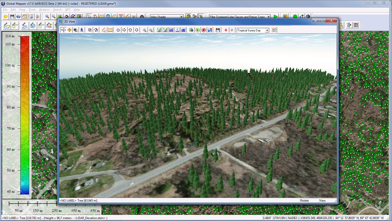
The ability to look at massive elevation data regardless of delivery format quickly and analyze a profile on the fly; makes Global Mapper our goto routing product. The 3d views allows for a great visual reference at the same time. Being able to drape imagery, be it local imagery or from an online repository makes it a very convenient tool to have around our GIS department. Review collected by and hosted on G2.com.
The help document could be made a bit better to help novices use the application. Review collected by and hosted on G2.com.

It's a very powerful tool for converting data, especially for the price. Capable of reading a very wide variety of formats and performing a surprising breadth of analysis and data management tasks.
It doesn't do absolutely everything, but it's a very powerful companion to other GIS platforms.
The main developer is very active on the Global Mapper forums and willing to respond personally to requests. I've even heard anecdotes of him providing one-off builds if a new or improved functionality is suggested. Review collected by and hosted on G2.com.
Not very much to dislike, my main gripe is that when I remote desktop to my work machine from home, I can't open the software with my single-use license. I typically work around this by having a co-worker physically sign in and open a session before I log back in, or I just leave a session running when I leave the office.
Some of the more complex analysis tools like watersheds don't offer as much control as might be desired, though they generally work fairly well out of the box. Review collected by and hosted on G2.com.

Its lightweight and easy to use. It handles most of my day to day 3D operations. Review collected by and hosted on G2.com.
I wish there was more options to changing symbologies/color ramps on 3d data sets. but more importantly i wish there was an option to remove outliers from your data in global mapper. EX. 1 point out of a million shows -5 elevation vs the 1200-1400m average. this skews the color symbology greatly. Review collected by and hosted on G2.com.

The compatibilty with many types of file's format, the possibility to manipulate easily big amounts of data.
The possibility to shift between projection systems on the fly. Review collected by and hosted on G2.com.
Generally, the graphic interface can be more user-friendly. The general appearance (graphic design, menù arrangement) is a bit outdatet
Some functions can be improve, like areal shape management, editing options, Review collected by and hosted on G2.com.
Global mapper is able to read and operate with a huge number of different format.
It has the capability to manipulare and transfrom huge GIS dataset (in term of size) better than any other GIS tool I tried so far.
Moreover has a very powerfull, easy and well documented scripting system that will allow you to automate a lot of operations with few rows of code. Review collected by and hosted on G2.com.
Is absolutelly missing a standard tabular visualization of attributes and also querying and filtering on dataset is not so easy.
Registration process is really tedious, if you loose the installer you are forced to buy an upgrade to the latest version also you if have your valid code for a previous version. Review collected by and hosted on G2.com.

Handling of pointclouds, converting rasters to (X,Y,Z), and other conversion issues are handled well with an intuitive albeit outdated UI. Review collected by and hosted on G2.com.
General look and feel is a bit outdated, user interface is fine. Review collected by and hosted on G2.com.


