Top Rated Global Mapper Alternatives

Its lightweight and easy to use. It handles most of my day to day 3D operations. Review collected by and hosted on G2.com.
I wish there was more options to changing symbologies/color ramps on 3d data sets. but more importantly i wish there was an option to remove outliers from your data in global mapper. EX. 1 point out of a million shows -5 elevation vs the 1200-1400m average. this skews the color symbology greatly. Review collected by and hosted on G2.com.
29 out of 30 Total Reviews for Global Mapper

Global Mapper is a popular geographic information system (GIS) software used for various tasks related to spatial data analysis, visualization, and manipulation. Some users appreciate its user-friendly interface, comprehensive data format support, and wide range of tools for tasks like data conversion, terrain analysis, cartographic editing, and more. It's often praised for its ability to handle raster and vector data, making it versatile for various GIS tasks. However, like any software, opinions about its strengths can vary depending on the specific needs and preferences of the user. Review collected by and hosted on G2.com.
I find Global Mapper's learning curve and advanced analysis capabilities to be potential areas of dislike. Review collected by and hosted on G2.com.
It can generate good contour maps and cad mappings for terrain developments in other 3D development software. Review collected by and hosted on G2.com.
One error in the generation of the 3D contour maps is the irregularity between x,y and z-axis scaling. The maps must be rescaled in just the z-axis to get exact proportionate contour maps. Review collected by and hosted on G2.com.

Connection to public Geo data and conversion functionality. Visibility function for radio propagation applications. Review collected by and hosted on G2.com.
Hard to say. Pretty overloaded menues. Manual could be better. Review collected by and hosted on G2.com.

It is a great tool for geographic information system and offers an extensive assortment of vector and raster processing tools and includes a comprehensive collection of analysis functions, with an emphasis on 3D and terrain visualization and analysis. As a one-stop alternative for multi-step GIS workflows, Global Mapper provides a complete suite of geospatial tools in one easy-to-use application. Review collected by and hosted on G2.com.
In this tool are least amount of symbolistation and print layouts. Review collected by and hosted on G2.com.


Global Mapper will take just about any file you throw at it and export it in just about any other. Review collected by and hosted on G2.com.
The lack of professional map making tools that other GIS software packages have. Review collected by and hosted on G2.com.

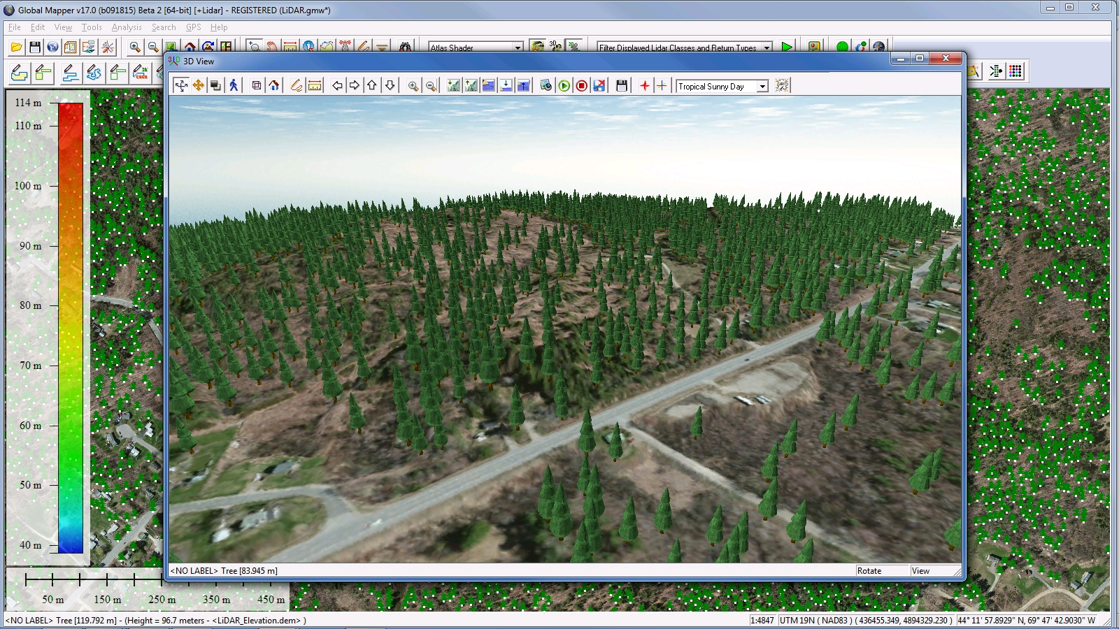
I really like the ability to look and interpret 3D terrain data. LiDAR data is easy to manage within Global Mapper. If you need to perform QC on terrain data, Global Mapper works very well for that. Global Mapper can also many different data files. Great access to downloading online data from various sources. Review collected by and hosted on G2.com.
Coming from ArcGIS, some of the analysis functions are not as straight forward but I'm not sure that's a fault of Global Mapper. It's not the best for digitizing. It can't handle geodatbases such as FGDB or FGDB but it can handle SHP files. Review collected by and hosted on G2.com.


